Facebook
 X
 Pinterest
 Copy Link
The Future of Oʻahu Coastal Real Estate: Why Long-Term Strategy Matters
By Tara K. Chong Kee
Date: September 9, 2026
Real estate in Hawaiʻi isn’t just about finding a beautiful view today—it’s about understanding what that property will look like 20, 30, and 50 years from now.
As municipal and state planners update Oʻahu’s coastal management strategies, owning near-shore real estate requires more than a standard real estate transaction. It requires diagnostic precision, environmental awareness, and long-term foresight. Moving forward, viewing real estate through an advisory lens means grounding decisions in clear, empirical data rather than guesswork.
The New Data: Benchmark Updates & Coastal Realities
According to updated planning guidelines from NOAA, the USGS, and the University of Hawaiʻi at Mānoa School of Ocean and Earth Science and Technology (SOEST), Oʻahu’s coastal adaptation standards are evolving rapidly:
-
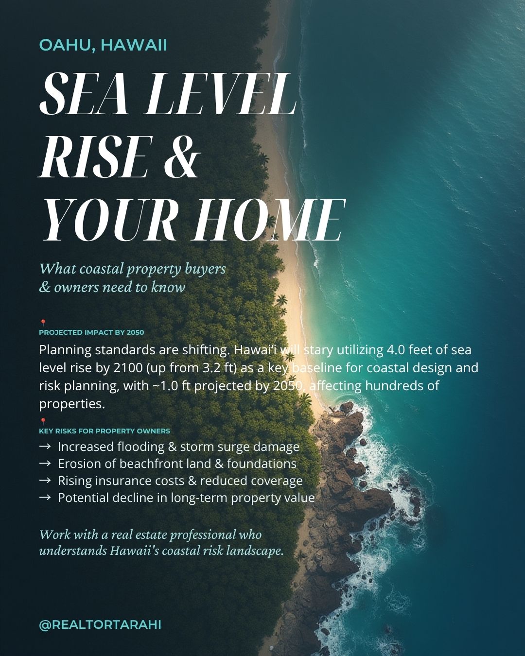
The 4.0-Foot Baseline: Planning standards have officially shifted. Hawaiʻi is now utilizing 4.0 feet of sea level rise by 2100 (up from the previous 3.2 ft baseline) for coastal design and risk assessment, with approximately 1.0 foot projected by 2050.
-
Groundwater Inundation: Sea level rise isn’t solely about ocean waves overtopping seawalls. As sea levels rise, dense saltwater forces up the shallow freshwater water table from underneath. In low-lying urban sectors like Waikīkī, groundwater sits less than 2 feet below the surface at high tide—impacting underground infrastructure, basements, and storm drainage regardless of seawall protection.
-
Stricter Setbacks & Managed Adaptation: Hawaiʻi is enforcing updated shoreline setback rules (ranging from 40 feet up to 100+ feet depending on lot depth) to push new development away from active erosion zones. State and county policy is actively shifting away from hard seawalls toward dune restoration, elevation, and regional mitigation districts.
What Smart Buyers and Property Owners Are Evaluating Right Now
Navigating these shifts requires evaluating key structural factors before buying, selling, or renovating along the coast:
-
Zoning & Setback Evolution: Understanding how updated erosion maps and shoreline regulations impact future property improvements, rebuildable square footage, and buildable envelopes.
-
Infrastructure & Insurance Impact: Assessing municipal plans for storm drainage, road access, and utilities to gauge long-term property values and insurability.
-
Resilience vs. Risk: Identifying micro-pockets and elevated parcels that offer natural topography, solid ground stability, and long-term protection.
-
Regulatory Boundaries: Recognizing jurisdictional oversight is critical for development. The City & County of Honolulu (Department of Planning and Permitting) sets rules landward of the shoreline setback line, while the State (DLNR) controls public beaches and lands seaward of the certified shoreline. Federal agencies (USACE / NOAA) oversee navigable waters and coastal zone policy.
Grounded Decisions for Legacy Assets
When you look at real estate as a multi-generational asset, environmental planning isn’t a surprise—it’s simply smart strategy. Whether you are looking to invest, preserve a family legacy property, or position your home for the future market, taking a proactive, data-driven approach protects both your lifestyle and your financial security.
Data Sources: NOAA Climate Program, USGS Coastal & Marine Hazards, UH Mānoa SOEST Coastal Geology Group, Hawaiʻi Sea Level Rise Viewer.
Interested in discussing your long-term property strategy on Oʻahu?
Reach out directly for a private advisory consultation on navigating Oʻahu’s evolving real estate landscape.